
CAD/GIS
Information floods modern society where people live.
In order to assure safety and wealthy social environment, CTC offer best solutions, applying the full use of clients geospatial information to various problems.
Covering all the geospatial information surroundings from out of space to underground, CTC offer our experienced system integration services and software to meet the needs of society.
- WebGIS system integration
- Enterprise GIS for infrastructure industries
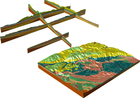
- 3D geological engineering GIS software "GEORAMA"
- System integration for emergency planning
- Sales for various maps and satellite data/images
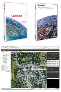
Platforms of CTC's CAD / GIS and integration services for information sharing, are based on the world's most used CAD/GIS products, such as "Autodesk" and "ESRI", thus CTC offer solutions that match your needs.
GIS platform
- ESRI ArcGIS product
-
Autodesk Geospatial product
CAD platform
information sharing platform
- Microsoft Office SharePoint Server